Do you love hiking and are you looking for the best hikes near Athens in Greece? Find in this post information for 6 of my favorite trails close to Athens, easily done on a day trip.
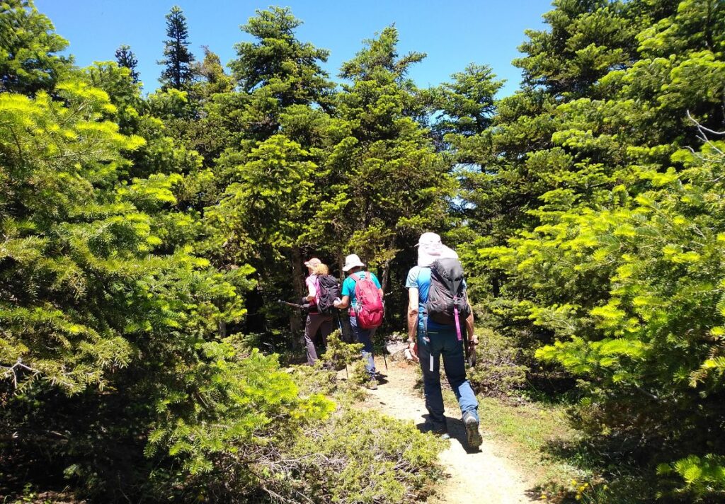
Even though Athens is more famous for its archaeological sites than its hiking trails, it is a great place for day hikes. Athens is surrounded by 4 major mountains that offer a great variety of landscapes, levels of difficulty, and trails to choose from.
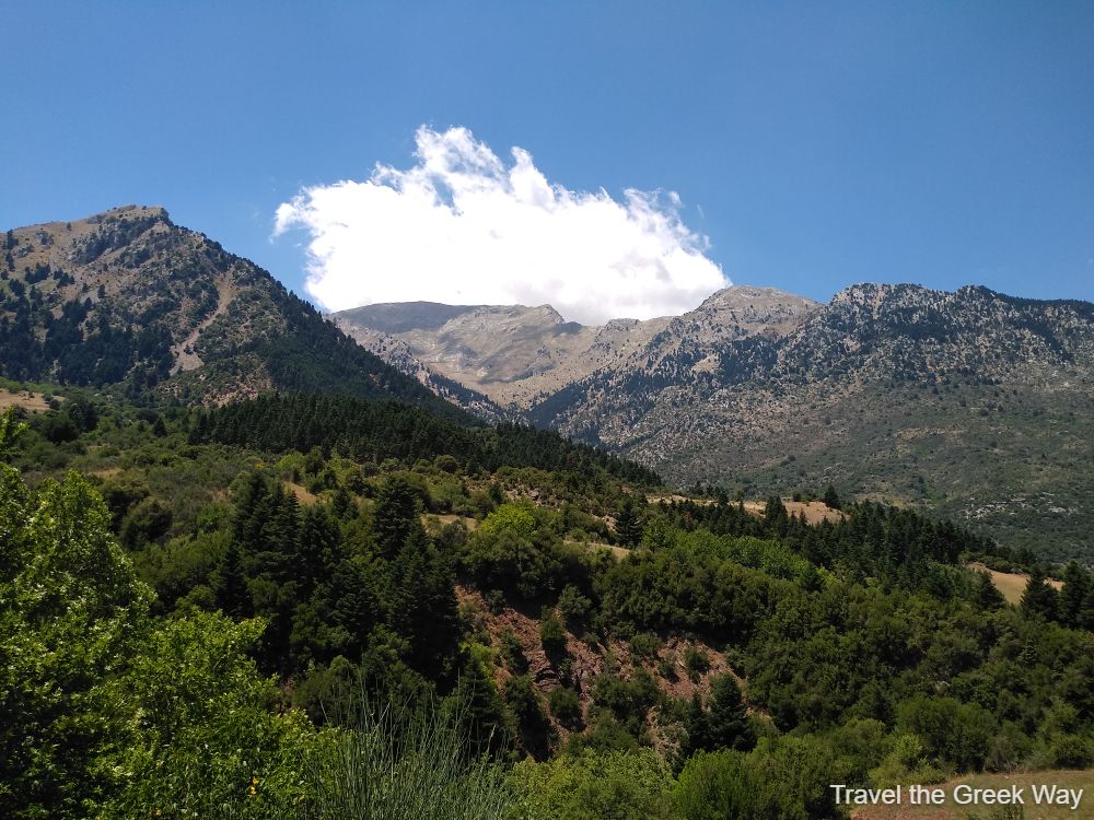
Find in this post a shortlist of the best easy Athens trails that I have explored myself many times both in winter, spring, and fall. In Summer, hiking in Greece is very challenging as you may suffer heatstroke if you are not careful.
*Some of the links below are affiliate links. That means I may make a commission if you click and buy. The commission comes at no additional cost to you.
Athens Quick Reference
- Where to stay in Athens: Ancient Agora Apartments
- Book your ferry tickets with no-hidden-fees FerryScanner
- Rent a car with Discover Cars for reliable new cars at affordable prices
Best Hikes near Athens
The best hikes near Athens are in Parnitha Mt, Hymettos Mt, Aigaleo Mt, Marathon Lake, and the southernmost of Attika, Cape Sounion.
| AREA | FAMOUS FOR |
|---|---|
| 1. Parnitha, Tatoi | Greek Royal Palace |
| 2. Parnitha, Mpafi & Flambouri | Casino, Cable Car, 2 Refuges |
| 3. Hymettos, Kaisariani | Byzantine Monastery |
| 4. Aigaleo, Daphni | Unesco Listed Dapnhi Monastery, Botanical Garden |
| 5. Attika, Marathon | Lake, Dam, Marathon Tomb |
| 6. Attika, Sounio | Temple of Poseidon, Thoriko Theatre, Silver Mine |
Parnitha Mt, Tatoi Royal Estate
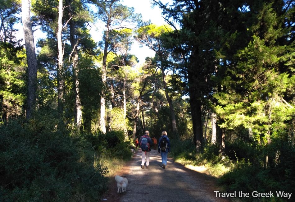
Parnitha is the largest mountain in Athens with its highest elevation being the Karavola peak at 1,413m. It is a National Protected Natura Park, a very beautiful and versatile mountain, 42,2 km from Athens. Parnitha offers some of the best hikes near Athens
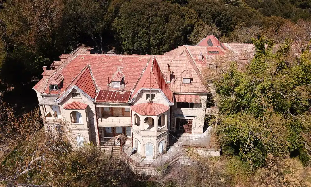
- Where exactly is Tatoi? Foothills of North Parnitha Mt, 27 km from Athens center
- The difference in Altitude: Max 160 m
- Focus on: Nature, Forest, History Buffs, Royal Enthusiasts
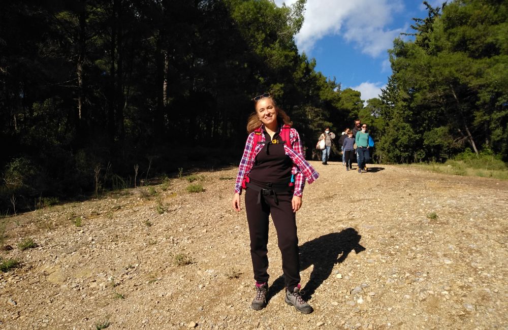
Best time to visit: Anytime during the year. Even if it snows, there will be too little snow to cause any trouble. My favorite months for hiking in Greece are October, November, and April.
How can I get there?
It is best to go with someone who knows the area unless you are a GPS expert.
The distance is about 40 minutes through Tatoiou Street. There are two entrances to the estate: one just behind Leonidas Tavern (143 Tatoiou Street) and another that takes you directly into the palace complex following a small track leading from the parking area on Tatoiou, 300 meters before the Friends of the Forest building.
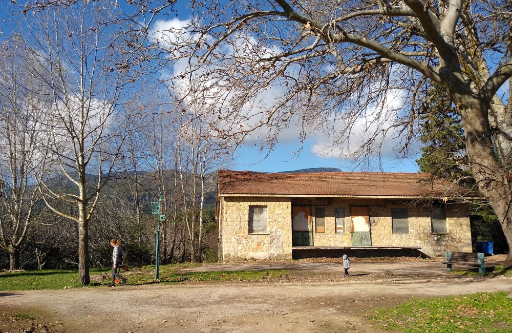
What kind of terrain is there? It was a vast beautiful forested area, mostly even. In 2021 a large part of the forest around the area was destroyed in a mega wild fire. There is a small uphill if you visit the Mausoleum and the Greek Royal Tombs.
Do I need a guide? You can venture into the place by yourself. The Palace area has police guarding and other workers hanging around as they renovate the place. Also, there are always people walking by and you can ask for guidance if you feel that you don’t know where you are going. Keep in mind that Tatoi Palace Estate is not the Appalachian Trail. Even if you get lost, soon you will end up somewhere with people.
Any water or springs? Nope. Better carry with you 1lt of bottled water
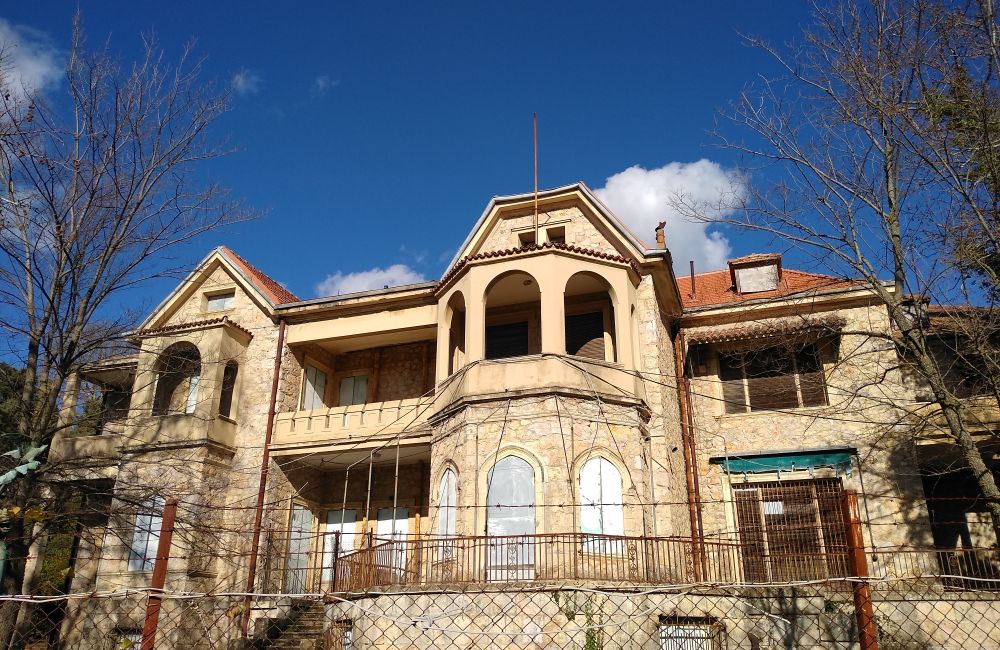
What else is around? Dozens upon dozens of Royal buildings to pass by, and not too far, a few Greek traditional taverns. Exploring abandoned palaces whets the appetite!
You are reading the Best Hikes near Athens.
Parnitha Mt – Mpafi & Flabouri Refuge
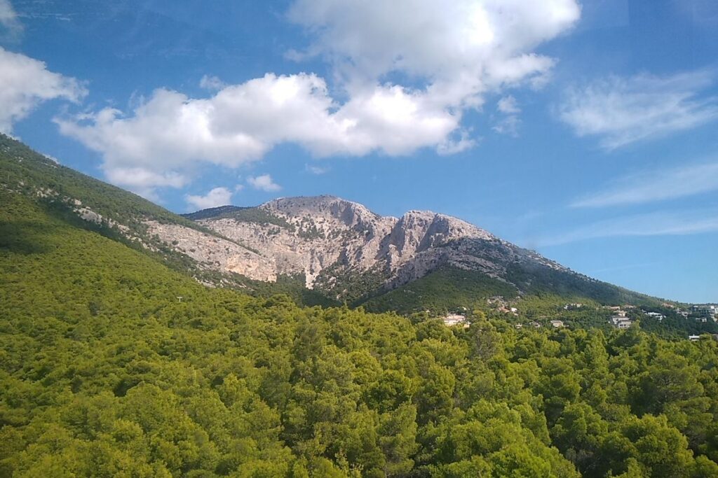
- Where exactly is that? Central Parnitha is about 2,5 km from Parnitha Casino and around 40 km from Athens
- The difference in altitude: 150 m
- Distance: 12 km (2 ways)
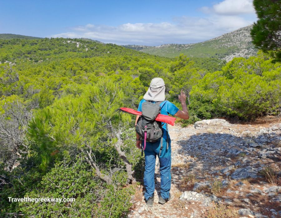
- Focus on: Moutain Nature, Forest, Hiking, Greek Traditional Food
- Best time to visit: Anytime during the year. Avoid Parnitha during blizzards.
- How can I get there? By private car/rent a car/ professional transfer.
- What kind of terrain is there? The part of Parnitha up to Mpafi has only low shrubs due to the old wildfire. From Mpafi towards Flabouri, it is a dense forest.
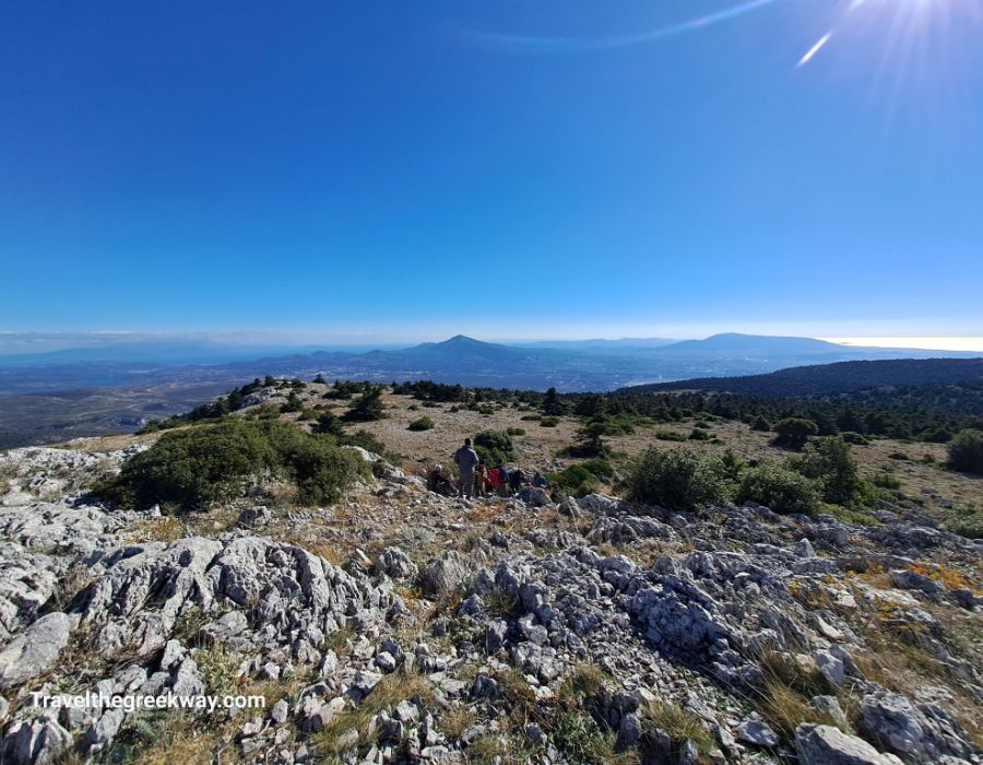
The areas of Mpafi and Flabouri refuges are the busiest parts of Mount Parnitha frequently visited by the nature-loving Athenians.
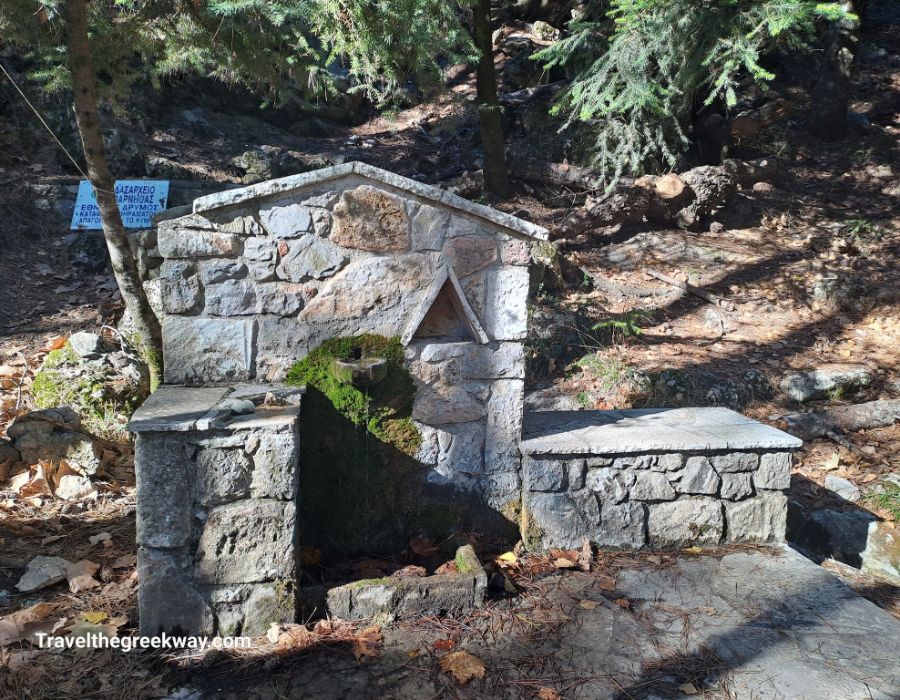
Any water or springs? Yes, there are many springs on the trails with drinkable water. There is also water available to purchase at the 2 refuges. In any case, take 1,5 liters of bottled water with you.
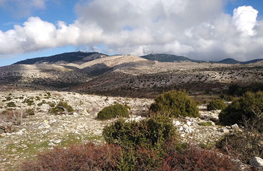
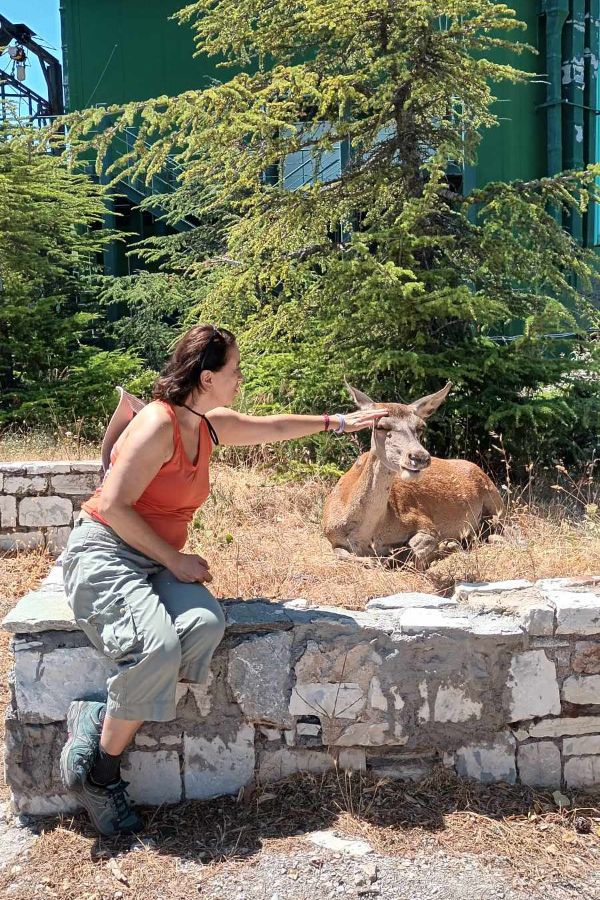
What else is around? Nature, many trails, and plenty of red deer!
Hiking Tour Parnitha National Park with Lunch
Book a small-group hiking tour on Parnitha Mt, hike to the best spots of the mountain, pass by springs and high plateaus, and complete this exciting tour with a Greek traditional meal (included in price) at Mpafi Refuge.
Check for prices and availability of the Parnitha hiking tour here
You are reading about the top hikes near Athens.
Hymettos Mt-Kaisariani Monastery
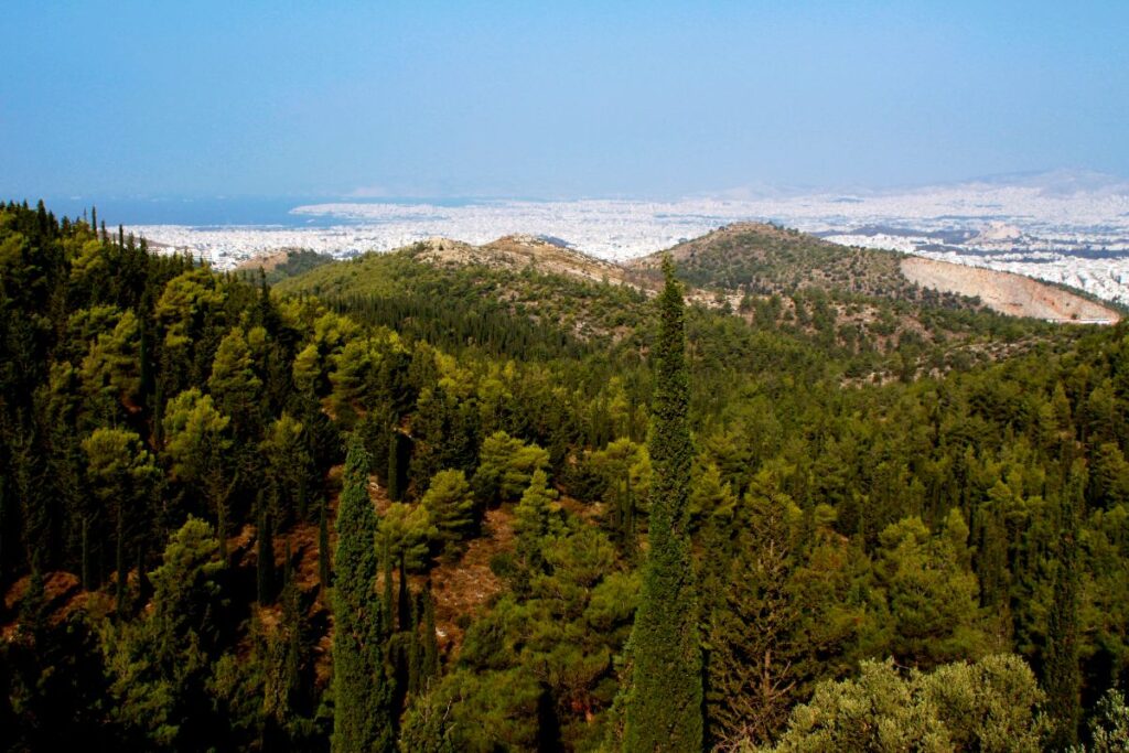
Hymettos mountain is located in the southeast of Athens with a peak elevation (Evzonas peak) of 1026 m, length of 23 km, and width of 4-6 km.
It is a protected area of Natura 2000 with a variety of landscapes and trails. It houses many important ancient and Byzantine monuments and there are many small and large caves.
- Where exactly is Hymettos Mt? 7 km from Athens center, in the Kaisariani area
- The difference in altitude: 350 m
- Best time to visit: Anytime during the year
- How can I get there? Bus no. 224 from Evangelismos metro station to its last stop at Kaisariani cemetery or by private car/rent a car/ professional transfer/taxi
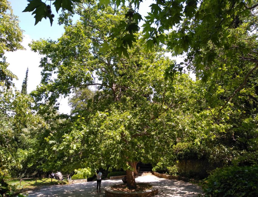
- What kind of terrain is there? Forest of young pine and cypress trees, olive groves. Mild uphills.
- Focus on: Forestry hiking, Athens Views, and Byzantine History.
- Do I need a guide? No, if you feel comfortable navigating around by yourself and you keep the city as a very visible landmark at all times. Yes, if you wish for particular hikes and/or live commentary for the Monastery or if you wish for a longer hike.
- Any water or springs? Yes, at the Monastery but you better carry with you at least 1-1,5 lt of bottled water
- What else is around?
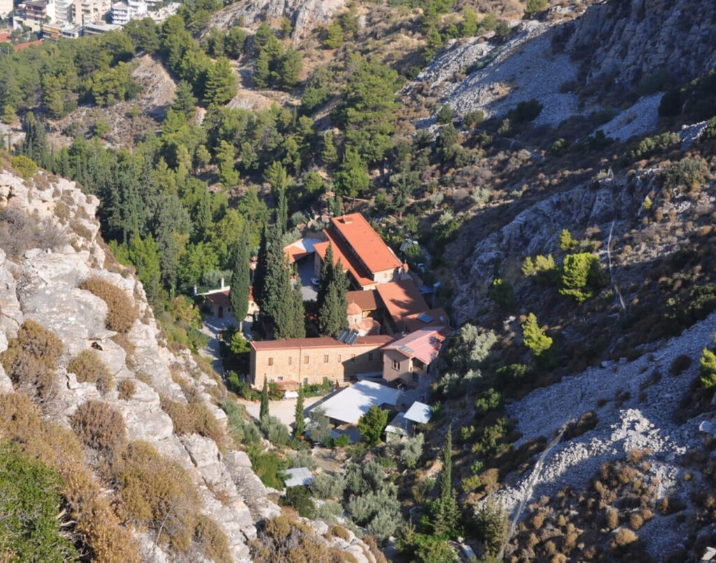
- Byzantine Medieval Monastery of Kaisariani, about 3km from the Kaisariani area and bus stop! is open daily except for Mondays, with the last entry at 2:30 pm)
- Nearby Taxiarchis Hill with the old Christian basilica
- Chapel of the Ascension, a cave-like structure lined with icons
- Asteriou Monastery
Aigaleo Mt-Daphni Monastery
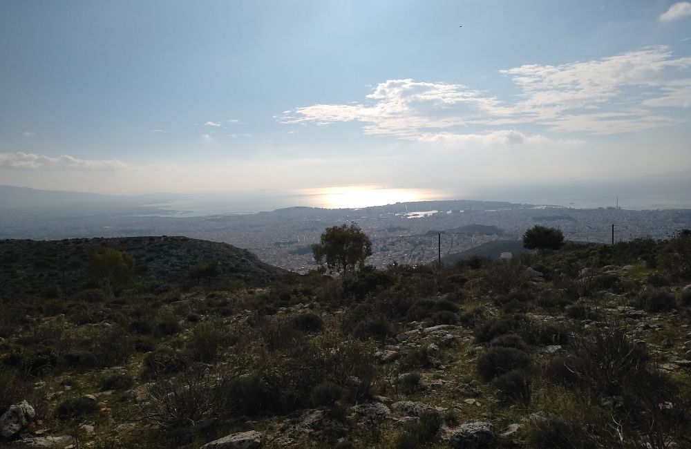
Aigaleo Mt is a low mountain, found on the left side of the national road towards Eleusis and the Peloponnese.
- Where exactly is Aigaleo Mt? 11 km from Athens center. The peak is at 468 m
- The difference in Altitude: 250 – 300 m
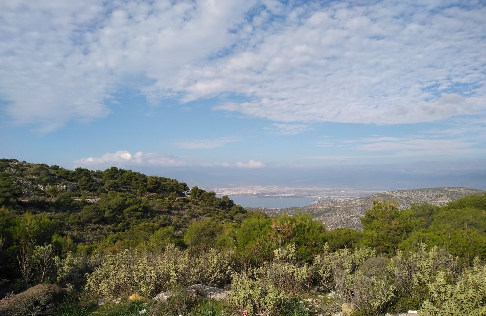
- Best time to visit: Anytime during the year
- Focus on: Alternative mountain, less trodden, sea views.
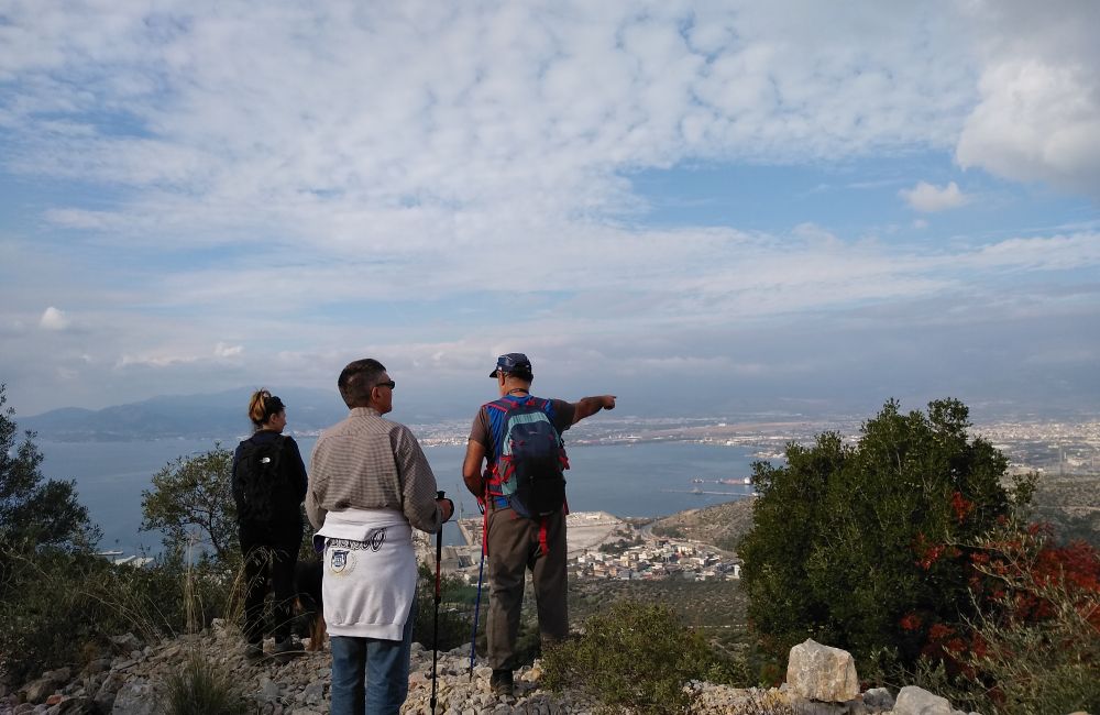
- What kind of terrain is there? Mostly rocky, with low shrubs and some forested areas offering amazing panoramic sea views towards the Piraeus port and Eleusis sea.
- History detail: From Aigaleo Mt, Persian King Xerxes was watching the defeat of his fleet during the naval battle in Salamina, between the Greeks and Persians.
- Do I need a guide? Aigaleo Mt is not well signposted, so a guide or someone who knows the area is probably needed.
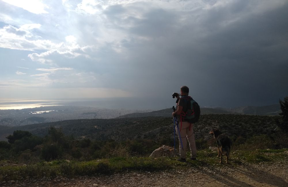
- Any water or springs? Nope. Carry with you at least 1-1,5 lt of bottled water
- What else is around?
- Stunning Unesco-listed Daphni Monastery, built in the 6th AD over the ruins of an Apollo Temple. Free entrance. Open on Wednesday, Thursday, Friday, Saturday, and Sunday from 08:00 – 15:00
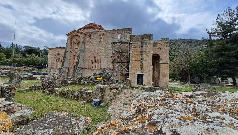
- Largest Botanical Garden “Julia & Alexander Diomedes” in the Mediterranean
- National Road going towards Eleusis Archaeological Site and the Peloponnese
Marathon Lake
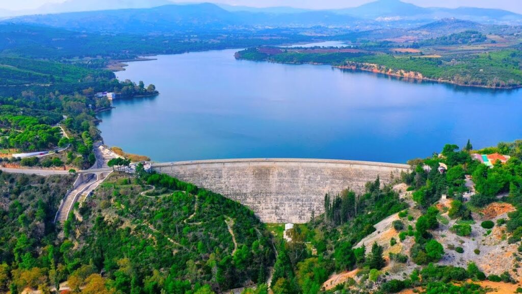
The Marathon Lake in Athens Greece, Attica is an artificial lake that functions as a water reservoir that supplies the town of Athens with drinking water.
A dam was constructed in 1929 and at its base, the workers built a replica of the Athenian Treasury Temple in Delphi. Nearby is the Marathon agricultural town with a brilliant ancient history.
Classic Marathon race took its name from this small town.
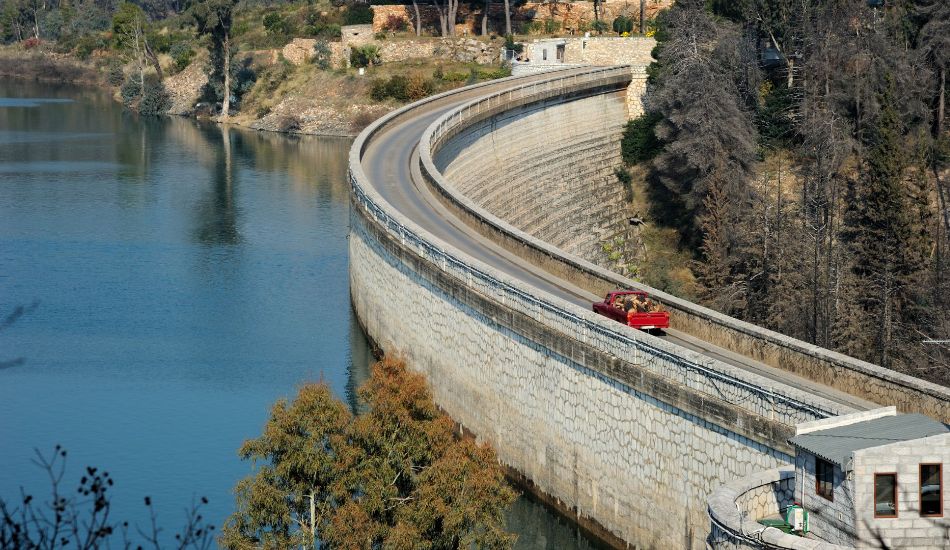
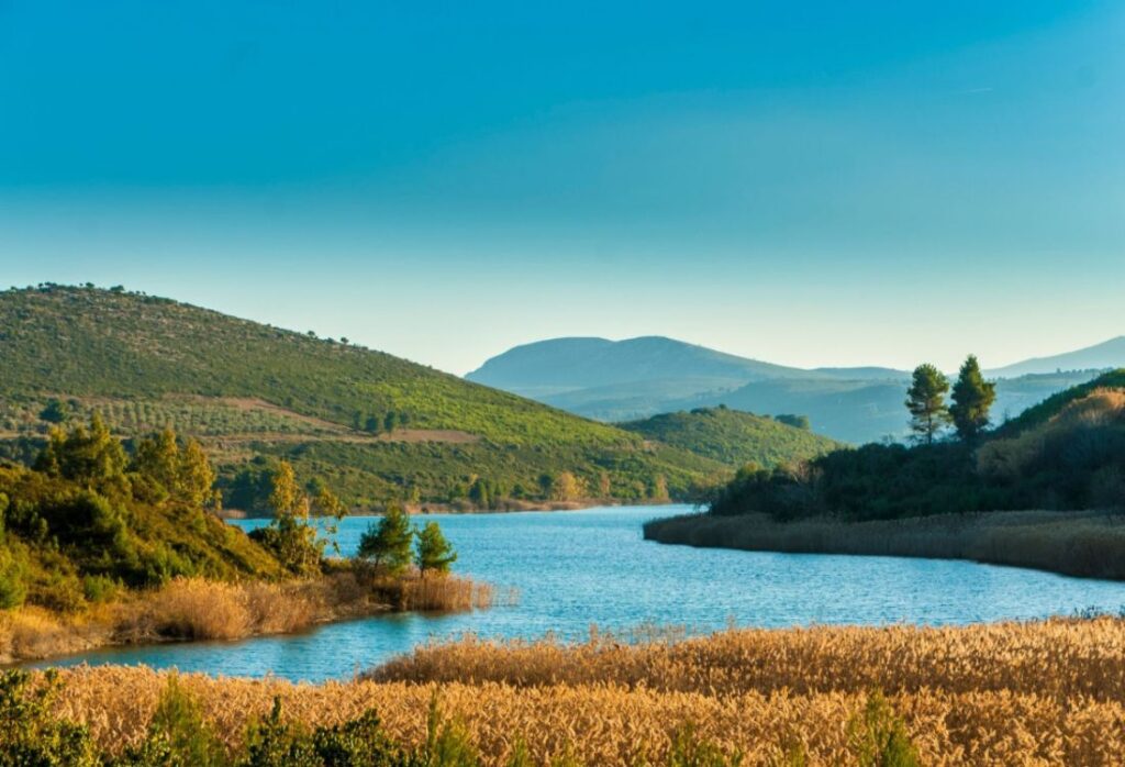
- Where exactly is Marathon Lake? Northeast of Athens, a 1-hour drive from Athens center, 45 km away
- Difference in Altitude: Minimal
- Focus on: Orchards, Fields, Streams, the Lake, the Dam, Ancient History
- Best time to visit: Anytime during the year
- You are reading the Best Hikes near Athens.
Related Post: Fun Things to Do In Marathon Greece
How to Get to Marathon?
Public Transport KTEL Attikis, Station at Mavrommateon 22, Athens, Tel +30 210 88 08 000.
The best solution is to have your car and stop whenever you want for as long as you want without stress about bus timetables. I always use Discover Cars for reliable new cars at affordable prices.
What kind of terrain is there? Lush vegetation, lots of water, beautiful spots to have a picnic, easy hikes
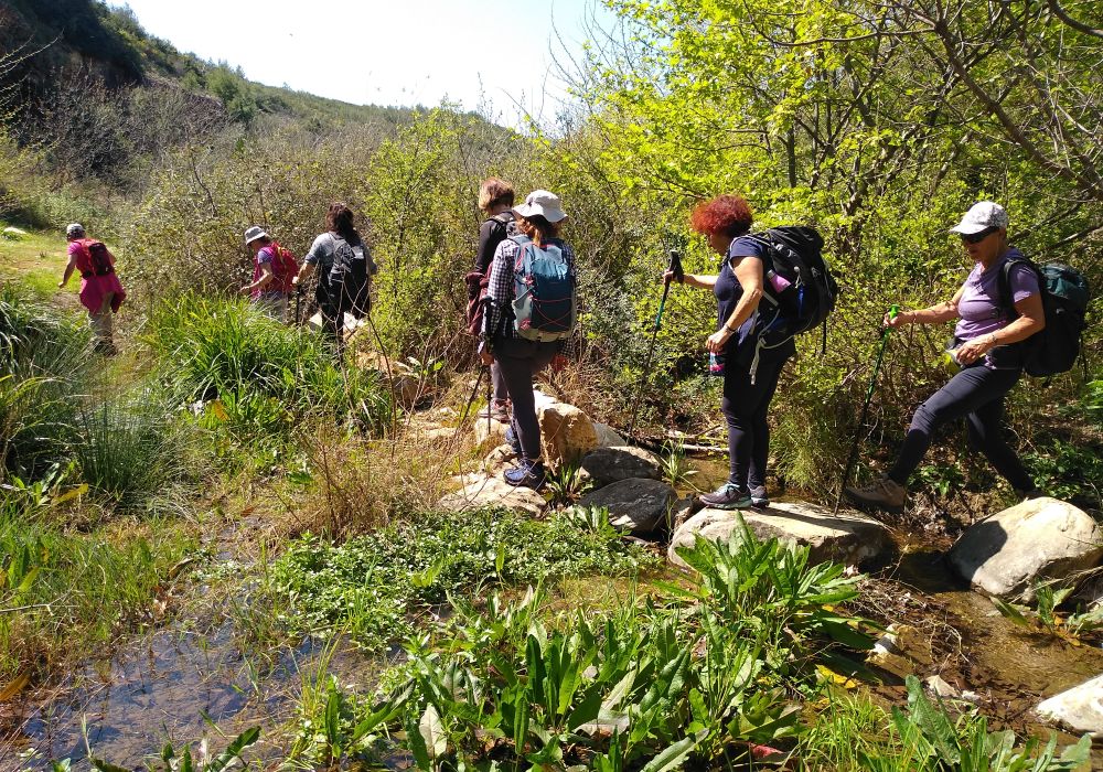
- Do I need a guide? Yes, if you wish to visit the many ancient sites of the area.
- Any water or springs? Yes, we will meet shops selling water but as I always say, carry 1 lt of water with you!
- What else is around besides the Dam and the Lake?
- Oinoi Gorge and Tower
- Marathon Battlefield and Archaeological Museum
- Sanctuary of Egyptian Gods
- Schinias National Park
- The Sea…
Half-Day Marathon Private Tour
Book a private tour in a luxury car with pick-up and drop-off services from your residence and visit up close, the Kallimarmaro Stadium in Athens, the Marathon Lake and the dam, the archaeological site, and the Museum of Marathon.
You may also enjoy: Tips for first-timers in Greece
Cape Sounion National Park
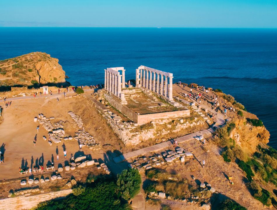
Sounion Cape is the southernmost tip of Attica, the ending point of Athens Riviera with the imposing Temple of Poseidon and the extensive archaeological site around it.
Surrounded by beautiful beaches, stunning sunset views, and endless places to hike, Sounion has it all.
- Where exactly is Cape Sounio? South, 69 km from Athens
- The difference in Altitude: Minimal
- Focus on: History Buffs, Adventurous Souls, Mineral Enthusiasts, Lovers of the Aegean sea, Wilderness, Industrial buildings
Related Post: 17 Incredible Stops at Athens Riviera
- Best time to visit: Anytime during the year.
- How can I get there?
- KTEL bus from Pedio Areos Park to Sounio (getting off the bus at Grecotel Resort right before Sounio)
- Private Transfer or rent a car. The route is a very easy one, you just travel for 69 km by sea.
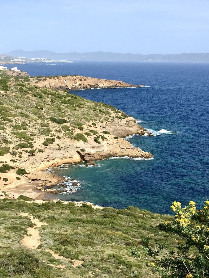
- What kind of terrain is there? Meager vegetation, empty lands with mostly no trees.
- Do I need a guide? No, as soon as you have read something about the huge history of the place thus can understand what you are seeing.
- Any water or springs? Yes, we will meet shops selling water but as I always say, carry 1 liter of water with you!
- What else is around?
- Beaches of Legrena, KAPE, Sounion
- Lavrion Ancient Mines, Caves, Abandoned Industrial Buildings
- Lavrion Hiking YouTube Video here
- Chaos Gulch
- Mineralogical Museum
- Thorikos Ancient Theatre
Related Post: Fun Things to Do in Cape Sounion
If you have to choose only one hike in Athens?
If you have limited time then I would recommend going to Kaisariani. It is very close to central Athens, easy to reach by taxi or public buses and there are trails to choose from easy ones around the monastery to longer hikes to the top of the mountain.
Where to Stay in Athens
Looking for the best hotels and apartments near old Athens Plaka and Acropolis Parthenon? Find in my complete list below the best accommodation in Athens for a unique travel experience!
- Where to Stay in Plaka, Athens’ Old Town (Hotels and Apartments)
- Acropolis View Hotels & Apartments in Athens
- Best Athens Beach Hotels (By the Athens Riviera Coastline)
- Central Apartments in Athens (near Acropolis)
- Athens Budget Apartments
- Athens Budget Hotels
How to get to Piraeus Port from Athens Airport

- Bus: If you are arriving at Athens International Airport you can travel straight to the port by taking the X96 express bus (€5.5, children <6 yo, free entrance), which departs every 40 minutes and the average trip lasts 1 hour – runs 24/7.
- Metro: (€9) is easily found across airport arrivals (blue line – M3) going directly to Piraeus port. The average trip to Piraeus lasts 1 hour.
- Taxis are available in front of the airport (around €40 to Athens, €55-60 to Piraeus (depending on the traffic in Kifisos), and take up to 3 or 4 people with small luggage)
- Rent a car with Discover Cars for reliable, new cars at affordable prices
- You don’t like driving but love hassle-free solutions? Book a Private transfer with an English-speaking driver from Athens International Airport to Piraeus Ferries, or anywhere else in Greece
- Are you looking for domestic flights in Greece? Check out the official Aegean Airlines Website.
Essential Travel Info for Greece
- ‘Hello’ and ‘Thank You’ in Greek: “Ya sou” and “Efharisto”
- Booking.com: I use Booking.com mostly for Europe. It has over 1 Million properties to choose from, including everything from hotels to apartments and even hostels. And free cancellation!
- Expedia: I use Expedia for the best hotel descriptions and amenities and a rewards points system for the rest of the world.
- All-Inclusive Resorts in Greece
- FerryScanner to book ferries to the Greek Islands
- Rent an Affordable Car in Greece
- Athens Metro Website (timetables and ticket info)
- Map of Athens Metro
- Trains (Hellenic Train)
- Public Buses KTEL
- Get Your Guide: For all your day or multi-day tours and city guide needs, I use Get Your Guide
- Emergency Numbers Anywhere in Greece: AMBULANCE 166 – FIRE 199 – POLICE 100– EMERGENCY NUMBER 112
Great post – nice pic of you on the road! Did not realize there was so much hiking close to Athens.
Thank you, Fred, great that you found it interesting! Actually, there is much more hiking than I put into this post but I wanted to keep it short.